Resources
Video Tutorials
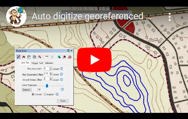
How to auto digitize lines and polygons from a georeferenced map
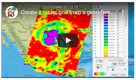
How to create a raster grid from a color scale georeferenced map
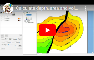
How to calculate depth, area and volume from a depth, elevation or prospect map
Contact Us
Spatial Monkey
150 Beach Road, Level 35
The Gateway West 189720
Singapore
Color Scan is a product by Spatial Monkey
For all enquiries and technical support contact:
support@spatialmonkey.com